 vesseltracker.com
Find the position of the vessel VALENCIA ELIZABETH D on the map. The latter are known coordinates and path.
marine traffic ship tracker show on live map
The current position of vessel VALENCIA ELIZABETH D is 41.09887 lat / 29.06143 lng. Updated: 2025-11-02 03:03:01 UTCCurrently sailing under the flag of Liberia
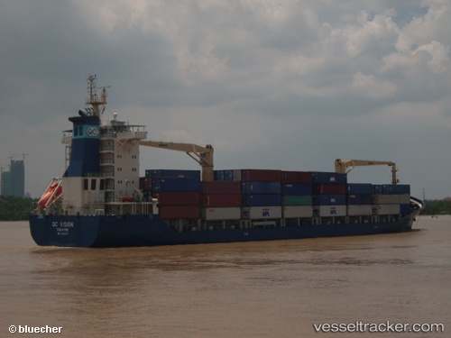
VALENCIA ELIZABETH D built in 2006 year
Deadweight:
13797 tDetails:
Last coordinates of the vessel:
UTC, 40.87217, 28.67564, course: 114, speed: 10.4UTC, 40.91797, 28.95130, course: 48, speed: 7.7
UTC, 40.94880, 28.98017, course: 24, speed: 6.6
2025-11-02 03:03:01 UTC, 41.09887, 29.06143, course: 14, speed: 10.2
Track of the vessel in the last 14 days